Campaign
Status:
complete
Targets:
10,174
Completed:
10,174
Failed:
0
Progress:
100.00%
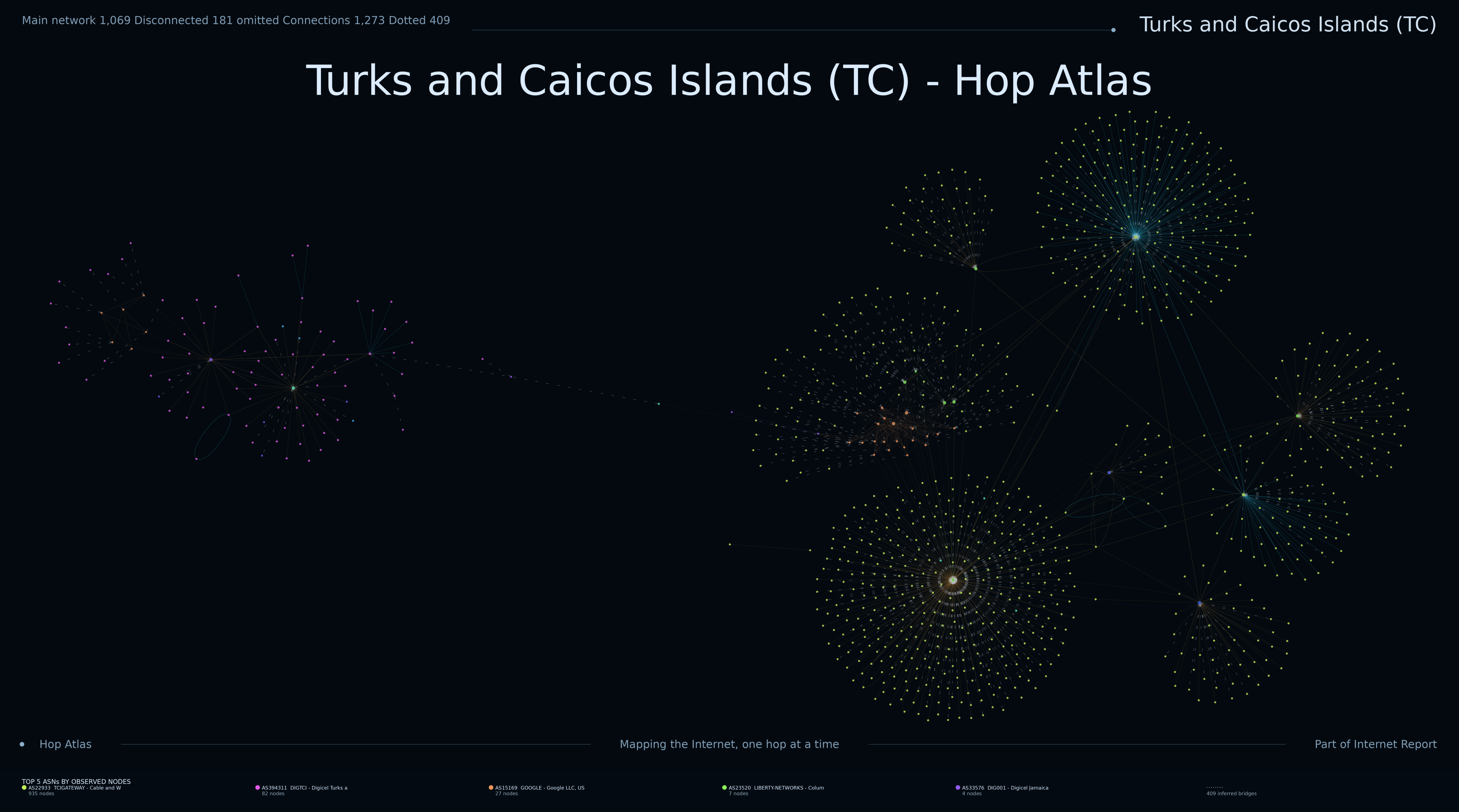
Latest topology render from the Hop Atlas measurement archive.
Status:
complete
Targets:
10,174
Completed:
10,174
Failed:
0
Progress:
100.00%
First trace:
11 Oct 2026 17:05 UTC
Last trace:
11 Oct 2026 17:13 UTC
Collectors used:
1
Successful destination reaches:
1,150
Last map:
17 Oct 2026 13:18 UTC
Render type:
final
Campaign completed:
11 Oct 2026 17:14 UTC
Render runtime:
21.862657628022134 s
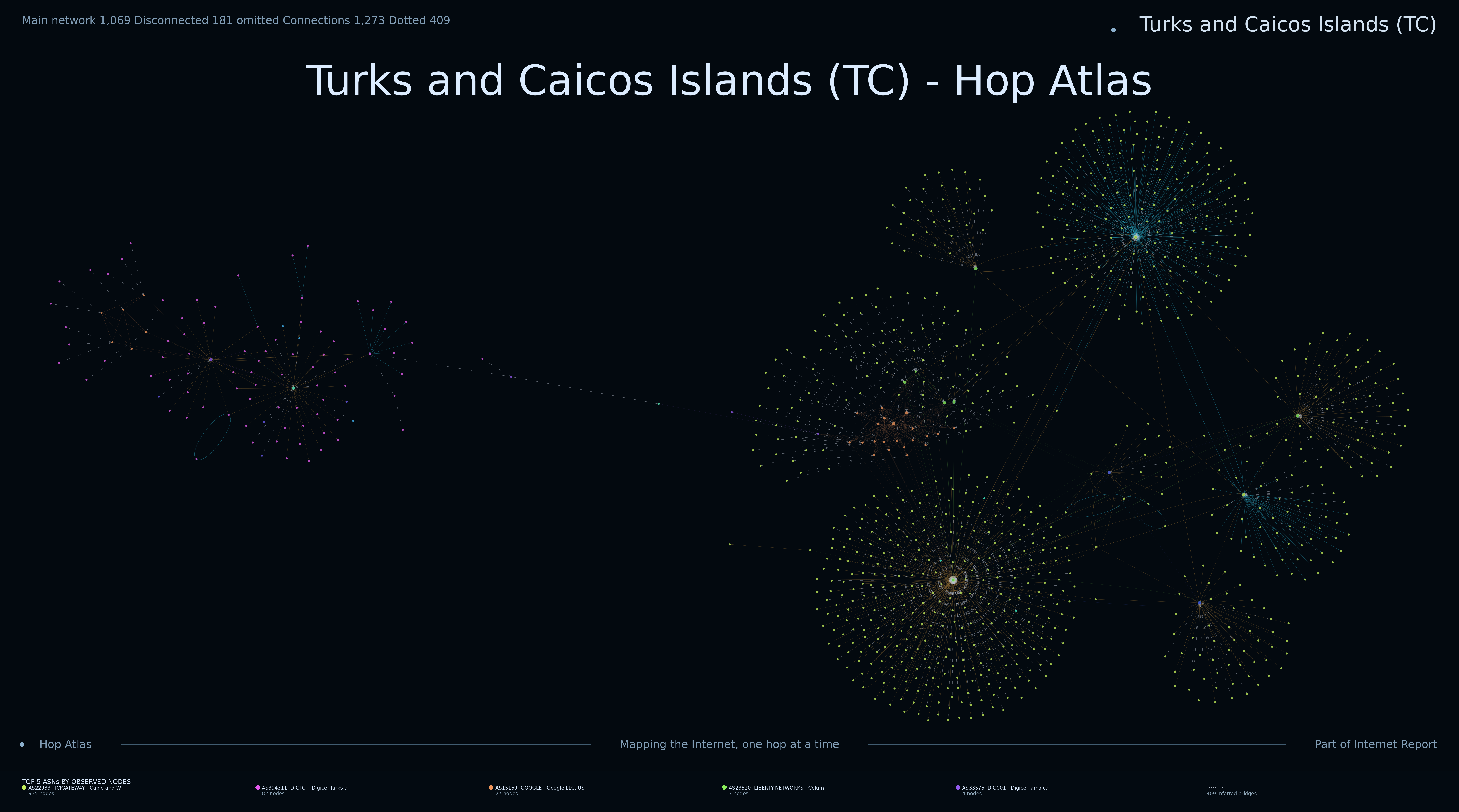
The nodes represent IP addresses observed as hops during traceroute measurements. Edges represent observed adjacency between consecutive responding hops. Larger or more highly connected structures often indicate recurring routing or transit points.
The distinction between core and transit nodes describes their relationship to the campaign's country-associated address space. It should not be interpreted as a precise statement of physical geography.
This image shows network addresses and routing relationships observed while measuring destinations associated with Turks and Caicos Islands (TC).
The latest render contains approximately 717 graph nodes and 984 graph edges. These are measurements of visible network topology, not counts of physical routers or cables.
The campaign currently reports 100.00% progress. Maps from incomplete campaigns may change substantially as more destinations are measured.
The latest recorded render was generated on 17 Oct 2026 13:18 UTC.
Long chains indicate sequences of observed routing addresses. Large fans can appear where many measured paths share common intermediate hops.
Dense clusters and diamond-shaped structures may indicate alternative routes, but they can also result from load balancing and traceroute measurement artefacts.
Disconnected fragments do not necessarily mean that networks are physically disconnected. Routers which do not respond to traceroute can create gaps in an otherwise continuous path.
The map does not establish the physical location of routers, prove ownership of infrastructure, or show every possible route through the network.
Addresses observed along routes towards Turks and Caicos Islands may belong to networks registered in other countries or territories.
The relationships shown reflect measurements made from particular observation points. Different probes or collection times may produce different results.